Deeper insights. Clearer understanding. The best decisions possible.
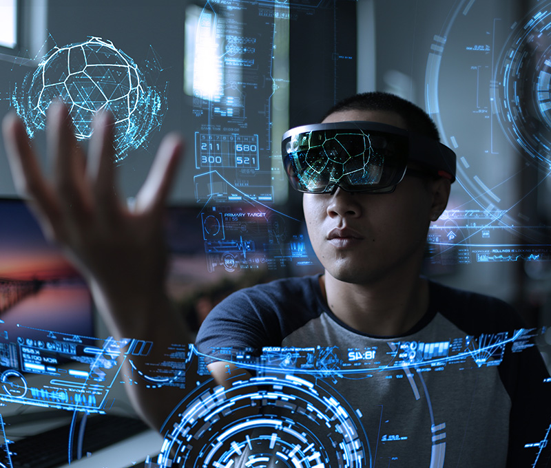
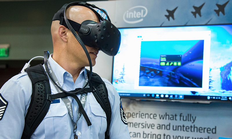
ATS’ virtual and augmented reality solutions offer our intelligence and defense customers the ability to more effectively prepare for and execute mission-based activities. Our VR solutions have an expansive scope. Multiple geographically distant VR and AR users collaborate in a virtual workspace, standing on maps, surrounded by tactical and other mission-relevant data seen in 360 degrees. Users simultaneously interact with and analyze data in a dynamically updating environment that enables enhanced situational understanding.
We employ the powerful Immersive Wisdom® Virtual, Mixed, and Augmented Reality software platform to develop groundbreaking solutions that provide enhanced situational understanding, facilitate global collaboration and data visualization, and speed up analysis of complex data to support the decision-making process of our customers.
ATS’ VR/AR solutions are unique to each customer and can support diverse applications, including:

Given the comprehensive nature of ATS’ VR solutions, users can take full advantage of an extraordinary immersive environment, one that weaves together multi-INT data, including imagery, sensor feeds, videos, mapping 3D models, and network graphs. Enterprise data is easily integrated so that users can collaborate and visualize, analyze, and navigate multiple diverse data sets displayed in a single common operating picture.
Within Immersive Wisdom’s temporal and geospatially-aware Virtual/Mixed/Augmented Reality collaborative platform, we are able to rapidly integrate a wide array of mission-specific data sources, including:

WHAT OUR CLIENTS SAY.
“Executes his role with a high level of expertise and professionalism. With those qualities, his input is sought after on questions addressing reporting issues and questions.”
“She is ALL IN on all of her projects and reaches across TTOs as ONE TEAM. We look forward to continued successes as she tackles new challenges to support the customer, and we are grateful for the outstanding representation she provides on behalf of the program and your organization.”
“Willing to place mission needs over personal convenience.”
“Interpersonal skills are one of his greatest strengths.”
“She showed initiative right from the start and quickly became the go to person for projects that needed to be done quickly and accurate. She takes great pride in her work and strives to produce flawless products.”
“He is always working hard, usually on more than one report at a time, to get the best reports out as timely as possible.”
“Easy going and great to work with. Keeps the mood light even in the busiest and stressful of times. He is a huge asset to our team.”
“…continually on the edge of new tools and systems, and her persistent knowledge and command of the workspace has brought many successes for her projects and for other teammates working alongside her.”
“Demonstrates a keen knowledge of area of responsibility and is able to assist with providing analysis for the work center.”
“When our customer is in need of knowledge and fast action, she is always the teammate they turn to. Without a doubt the hardest working teammate we have.”
“When she first started in our organization, mission leadership asked her to take on some of the very high-level training requirements for outside offices. Not only did she take this additional responsibility on but she excelled in it while maintaining a high level of excellence in her daily work duties.”
“The customer knows him very well because of the quality of his work and professionalism.”
